Survey of the Pacific Northwest
George Vancouver · 1791 CE – 1795 CE · Earth
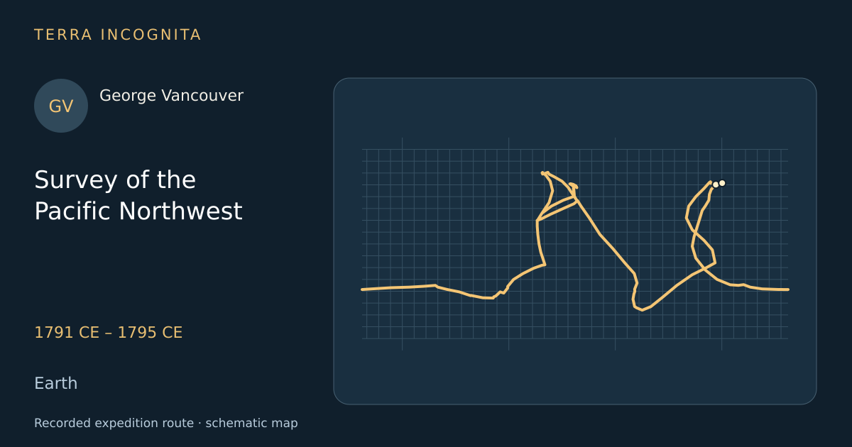
Take back the Nootka territory from Spain and settle whether a Northwest Passage opens on the Pacific coast.
Historical context
Britain and Spain had nearly gone to war in 1790 over a handful of huts at Nootka Sound, and Vancouver sailed to take the place back and to close the question of a Northwest Passage for good. What he actually produced was the most exact survey of a wild coast ever attempted under sail, drawn from open boats a bay at a time.
The voyage, step by step
The Discovery sails
April 1791
In April 1791 Vancouver leaves Falmouth with the Discovery and the armed tender Chatham for a voyage of four and a half years.
King George Sound
September 1791
In September 1791 the ships survey and name a fine harbour on the unknown south-west corner of New Holland.
Dusky Sound
November 1791
In November the ships put into the New Zealand fjord where Vancouver had anchored eighteen years earlier with Cook.
Into Puget Sound
May 1792
In May 1792 the boats push into a great inland sea of channels and islands, which Vancouver names after his lieutenant.
Negotiations at Nootka
August 1792
In August 1792 Vancouver meets the Spanish commander Bodega y Quadra to settle what Spain must hand back.
Round the island
1792 CE
Working north through the inside channels and out at Cape Scott, the ships prove that Nootka stands on an island.
The last blank closed
1794 CE
In the summer of 1794 the boats row to the head of Cook Inlet and find a river mouth, not a passage.
Home, and forgotten
October 1795
The Discovery reaches the Thames in October 1795 after four years and a half, and Vancouver begins a narrative he will not finish.
Outcome
Charted every inlet from California to Cook Inlet in three seasons and proved that no passage exists.
George Vancouver
British navigator whose five-year survey settled the shape of the Pacific Northwest coast from California to Alaska.
Sources
- George Vancouver — Wikipedia
- A Voyage of Discovery to the North Pacific Ocean and Round the WorldGeorge Vancouver · G. G. and J. Robinson · 1798
Continue exploring
- The open-boat voyage to TimorWilliam Bligh · 1789 CE
- The voyage of the Boussole and the AstrolabeJean-François de La Pérouse · 1785 CE – 1788 CE
- Second voyageJames Cook · 1772 CE – 1775 CE
- First Pacific voyageJames Cook · 1768 CE – 1771 CE