The voyage of the Boussole and the Astrolabe
Jean-François de La Pérouse · 1785 CE – 1788 CE · Earth
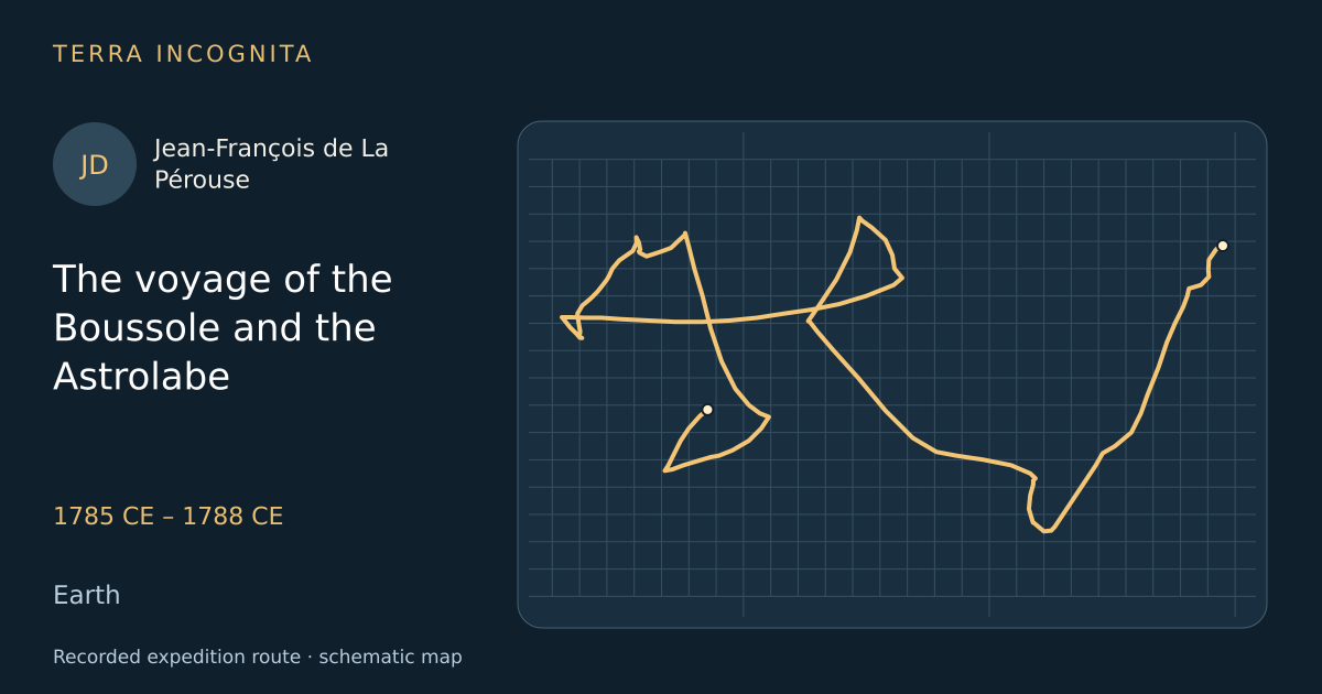
Complete the Pacific chart left unfinished by Cook, and survey its coasts for trade and science.
Historical context
Louis XVI, an amateur geographer, planned this voyage as France’s scientific answer to Cook and helped draft the instructions himself. Every coast was to be charted, every people described and every specimen preserved — and almost all of it was lost with the ships, except what was sent home overland from Kamchatka and by ship from Botany Bay.
The voyage, step by step
Two ships out of Brest
1 August 1785
On 1 August 1785 the Boussole and the Astrolabe sail with astronomers, botanists, gardeners and a draughtsman aboard.
Port des Français
July 1786
In July 1786 the ships enter a spectacular Alaskan fjord, and twenty-one men drown in the tide race at its mouth.
The missions of Monterey
September 1786
In September 1786 the expedition is received by the Spanish at Monterey, the first foreign ships allowed into Alta California.
A map drawn in the sand
1787 CE
Feeling his way up the Gulf of Tartary, La Pérouse asks the Ainu and Nivkh of the coast what lies to the north.
Through the strait
August 1787
In August 1787 the ships pass between Sakhalin and Hokkaido into the Sea of Okhotsk, through the strait that now bears his name.
The massacre at Tutuila
11 December 1787
On 11 December 1787 a watering party is attacked on a Samoan beach; twelve men die, including Fleuriot de Langle of the Astrolabe.
Six days after the First Fleet
26 January 1788
On 26 January 1788 the two French ships sail into Botany Bay just as the British convict fleet is moving to Port Jackson.
The reefs of Vanikoro
1788 CE
Both ships are driven onto the reef of a small Solomon island in a cyclone; the survivors build a boat and disappear.
Outcome
Three years of surveys from Alaska to Sakhalin, then the loss of both ships on the reefs of Vanikoro.
Jean-François de La Pérouse
French naval officer sent by Louis XVI to complete the map of the Pacific, and lost with both his ships on the reefs of Vanikoro.
Sources
- Jean-François de Galaup, comte de Lapérouse — Wikipedia
- Where Fate Beckons: The Life of Jean-François de la PérouseJohn Dunmore · University of Alaska Press · 2007
Continue exploring
- The open-boat voyage to TimorWilliam Bligh · 1789 CE
- Survey of the Pacific NorthwestGeorge Vancouver · 1791 CE – 1795 CE
- Second voyageJames Cook · 1772 CE – 1775 CE
- First Pacific voyageJames Cook · 1768 CE – 1771 CE