Great Northern Expedition
Vitus Bering · 1728 CE – 1741 CE · Earth
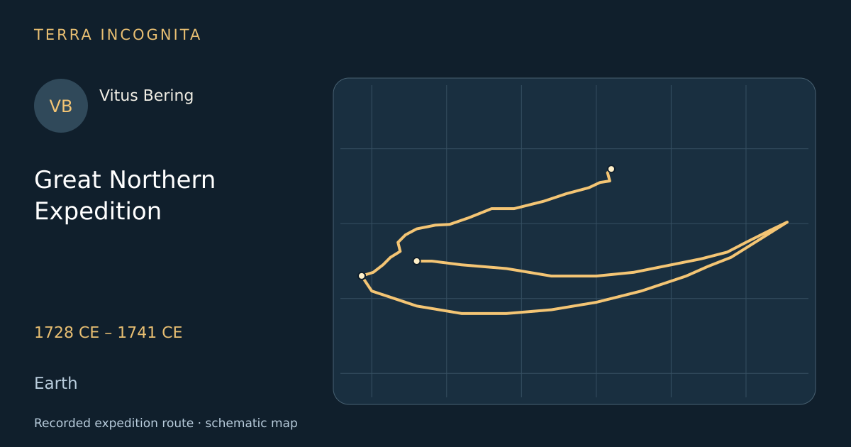
Determine whether Asia and America are joined.
Historical context
Peter the Great ordered a systematic survey of the empire's eastern edge, an effort spanning decades and thousands of kilometres. It answered, at last, whether Asia and America met.
The voyage, step by step
Out of Kamchatka
1728 CE
Bering leads a Russian expedition to map the North Pacific.
Along the Chukchi shore
1728 CE
The Sviatoi Gavriil coasts north-east past a shore whose people already know both sides of the strait.
The strait
1728 CE
He sails through the strait that proves Asia and America are not joined.
Turning back at 67° north
1728 CE
With the coast falling away west and no land in sight, Bering judges the question answered and turns for home.
Two ships for America
June 1741
In June 1741 the St Peter and the St Paul stand out from Avacha Bay, and lose each other in fog within a fortnight.
Alaska sighted
16 July 1741
On a second voyage he sights Alaska, but his ship is wrecked and he dies on an island.
Wrecked on Bering Island
November 1741
Scurvy-ridden and unable to work the ship, the crew is driven ashore on a treeless island in November.
Outcome
Passed the Bering Strait and sighted Alaska.
Vitus Bering
Danish navigator in Russian service who proved Asia and North America were separate continents.
Sources
Continue exploring
- The first French circumnavigationLouis-Antoine de Bougainville · 1766 CE – 1769 CE
- First Pacific voyageJames Cook · 1768 CE – 1771 CE
- Second voyageJames Cook · 1772 CE – 1775 CE
- The voyage of the Boussole and the AstrolabeJean-François de La Pérouse · 1785 CE – 1788 CE