Mariner 4 flyby
Mariner 4 · 1965 CE · Mars
Photograph Mars from close range and measure its atmosphere and magnetic field.
Historical context
For a century Mars had been the one world where educated people could still argue about inhabitants, and telescopes were too weak to settle it. Mariner 4 crossed 216 million kilometres to take twenty-one pictures of a cratered plain and measure an air a hundred times thinner than ours. Both answers arrived in a single July night.
The voyage, step by step
The first frame
15 July 1965
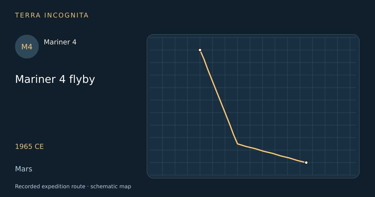
At 00:18 on 15 July 1965 the camera opened over Amazonis, near 40 degrees north, and began the swath.
Where the canals should have been
1965 CE
The swath crossed the equator over ground that Lowell's maps had ruled with straight dark lines. The frames showed nothing of the kind.
A cratered ground
1965 CE
Frames eleven to fifteen showed a heavily cratered landscape that looked, to everyone who saw it, exactly like the Moon.
An air too thin
1965 CE
As the probe passed behind the planet its radio signal bent through the atmosphere and gave a surface pressure of four to seven millibars.
The last frames
1965 CE
The swath ended at the terminator near 50 degrees south, in Phaethontis, with a twenty-second frame cut short after twenty-one lines.
Outcome
Twenty-one pictures across about one per cent of the planet, showing craters and a very thin air.
Mariner 4
First spacecraft to fly past Mars and send back close-up photographs, in July 1965.
Sources
- Mariner 4 — Wikipedia
- NASA Space Science Data Coordinated Archive — Mars missionsNASA Goddard Space Flight Center
Continue exploring
- Mariner 9 global surveyMariner 9 · 1971 CE – 1972 CE
- Viking 1 landing in Chryse PlanitiaViking 1 · 1976 CE – 1982 CE
- Viking 2 landing in Utopia PlanitiaViking 2 · 1976 CE – 1980 CE
- Pathfinder and Sojourner at Ares VallisMars Pathfinder and Sojourner · 1997 CE