The pundit’s route survey to Lhasa
Nain Singh · 1865 CE – 1866 CE · Earth
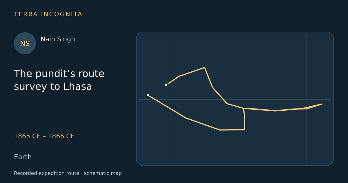
Reach Lhasa disguised as a trader, fix its position and pace the whole valley of the Tsangpo.
Historical context
Tibet was closed to Europeans and the Survey of India could not map what it could not enter, so Captain Montgomerie proposed sending Himalayan traders trained as surveyors instead. Nain Singh was the first and the best of them: two years of drill in pacing, bearings and secrecy, then a journey in disguise on which a mistake meant death. His route survey gave British India the position of Lhasa, the course of the Tsangpo and the first measured section of the plateau, and it was published under a pseudonym.
The voyage, step by step
Two years of drill
1865 CE
A schoolmaster is trained to walk a pace of exactly thirty-three inches, in any ground.
Across Nepal
1865 CE
The direct passes being watched, he goes the long way round through the Nepalese lowlands.
The gate at Kyirong
1865 CE
He crosses into Tibet with a merchant caravan and becomes, officially, nobody.
Pacing the Tsangpo
1866 CE
Bead by bead he measures the great river of Tibet eastward towards Shigatse.
Shigatse
1866 CE
In the shadow of Tashilhunpo he takes bearings on the monastery roofs at dawn.
Lhasa fixed
1866 CE
From a rooftop by night he takes the latitude of the forbidden city, and its height by boiling water.
The gold field
1866 CE
West of the Tsangpo he reaches the diggings of Thok Jalung, at nearly five thousand metres.
Home over the Mana pass
October 1866
In October he comes down into India with 1,900 kilometres of survey in his head and his prayer wheel.
Outcome
Fixed Lhasa within a few kilometres, surveyed 1,900 kilometres of the Tsangpo and returned over the Mana pass in October 1866.
Nain Singh
Kumaoni schoolmaster trained by the Survey of India who walked to Lhasa counting his paces and fixed the position of the city and the course of the Tsangpo.
Sources
- Nain Singh — Wikipedia
- Report of the Route-Survey made by Pundit — from Nepal to Lhasa, and thence through the Upper Valley of the Brahmaputra, Journal of the Royal Geographical Society, vol. 38Thomas George Montgomerie, on the survey of Nain Singh · Royal Geographical Society, London · 1868
Continue exploring
- Up the White Nile to Lake AlbertSamuel and Florence Baker · 1861 CE – 1865 CE
- Tibesti, Borku, Wadai and DarfurGustav Nachtigal · 1869 CE – 1874 CE
- The Green and the Colorado, 1869John Wesley Powell · 1869 CE
- Sixth expedition: Adelaide to the northern seaJohn McDouall Stuart · 1861 CE – 1862 CE