Tibesti, Borku, Wadai and Darfur
Gustav Nachtigal · 1869 CE – 1874 CE · Earth
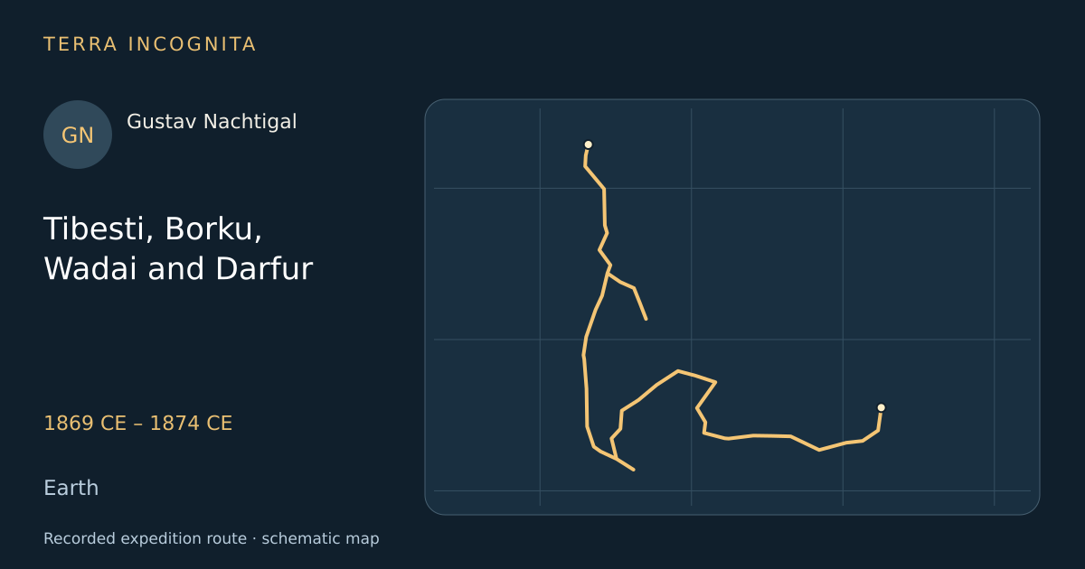
Deliver the Prussian presents at Kukawa and explore the unknown country between Fezzan and the Nile.
Historical context
The eastern Sahara was the last large blank on nineteenth-century maps, guarded by the Tubu of Tibesti and by the sultanate of Wadai, which killed the Europeans who tried to enter it. Nachtigal set out with a king’s presents for Bornu and simply kept going east, year after year, as a doctor paying his way with medicine. He came out at Khartoum in 1874 having crossed country no European would see again for forty years.
The voyage, step by step
A king’s errand
1869 CE
A German doctor in Tunis is asked to carry Prussian gifts to the Shehu of Bornu.
Into Tibesti
July 1869
He turns aside from the caravan road to enter a volcanic massif no European had seen.
The Kawar oases
1870 CE
He crosses the salt pans of Bilma on the road south to Lake Chad.
The gifts delivered
July 1870
In July he reaches Kukawa and hands the Shehu of Bornu his king’s presents at last.
Borku and Ennedi
1872 CE
He works north-east into palm-filled depressions and sandstone plateaus never surveyed.
Wadai
1873 CE
He enters the sultanate that had killed every European known to have tried before him.
Darfur and the road to Khartoum
November 1874
He crosses the sultanate in the year Egypt destroys it, and goes on to Kordofan.
Outcome
Crossed Tibesti, Borku, Ennedi, Wadai, Darfur and Kordofan, reaching Khartoum in 1874 with six years of surveys and ethnography.
Gustav Nachtigal
German physician who spent six years crossing Tibesti, Borku, Wadai and Darfur, the first European to describe much of the eastern Sahara.
Sources
- Gustav Nachtigal — Wikipedia
- Sahara und Sudan: Ergebnisse sechsjähriger Reisen in AfrikaGustav Nachtigal · Weidmannsche Buchhandlung, Berlin · 1879
Continue exploring
- The Green and the Colorado, 1869John Wesley Powell · 1869 CE
- First Central Asian expeditionNikolai Przhevalsky · 1870 CE – 1873 CE
- The pundit’s route survey to LhasaNain Singh · 1865 CE – 1866 CE
- Across Africa by the CongoHenry Morton Stanley · 1874 CE – 1877 CE